






The new canal
Comparisson reports are under license of:

Lo que dice el Arxiduc:
“The canal runs southwest to northeast towards the middle of the city in an open line between two breakwaters, approximately 50 meters from Bab el Tunez. The 9-meter-deep channel measures 100 meters across on the surface and 64 on the sea bottom.
On the other side, the canal empties in front of Point Sebra which stands out on the northern end of the lagoon. To the right of the exit you see magnificent Sebra Bay, the place to anchor in Bizerte as it can be done like no other place within the port itself.
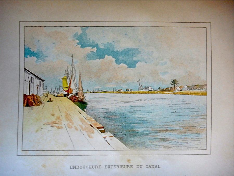
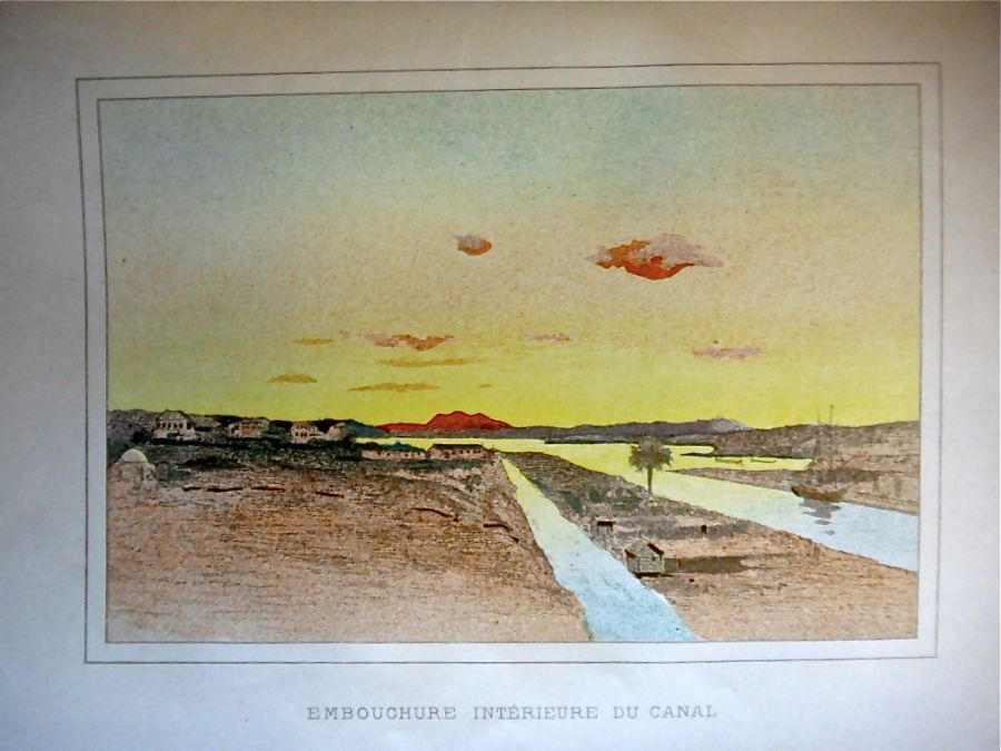
In the canal, the current changes direction every six hours; it is very strong and represents one of the port’s weak points as it is bothersome for the berths; it would certainly have been better to build the port in Sebra Bay itself, but the economic situation didn’t make this possible.
When the current is strong and heads out to sea, it’s a sign of good weather; if it comes in the other direction, it means bad weather.”
Archduke Ludwig Salvator of Austria, Bizerte, J. Rothschild, Paris, 1900 (Prague, 1897)
Datos proyecto Nixe III:
Both sides of the canal are today built up for the most part. On the left side at the canal entrance we see large open spaces where Bizerte natives tend to go to refresh themselves.
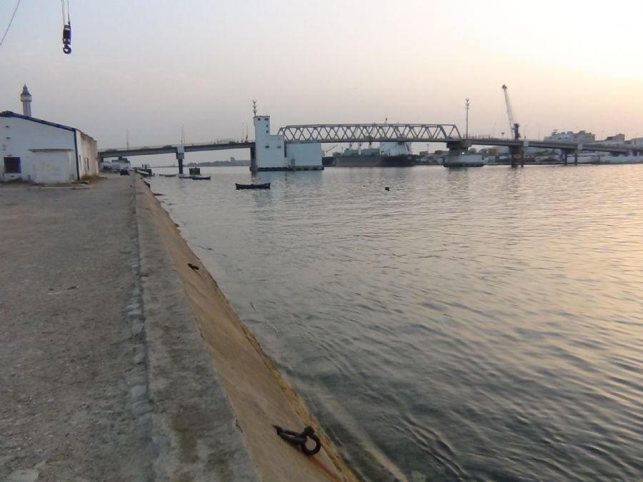
A large boardwalk area has been built on the inner side, heading out towards Sebra Bay, and to the left in Zarzouna. The city’s inhabitants also frequent it a lot.
.JPG)



Photos
.JPG)

Comparisson reports are under license of: