Excursions by sea in Ithaca: Southeast and west coast.
14/06/2013
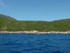
We started this tour from the northern tip of the island, Ayos Yioannis. We can see this place from within Afales Bay. Behind us are several villages, Platrithias in the lower part and Oxogy on top of the mountain. The picture shows Platrithias area.
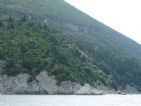
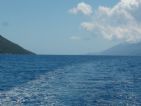
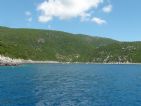
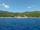
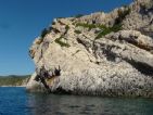
We headed out of the Afales bay in order to begin the journey to the south on the west coast of Ithaca. We can see a series of rocks and hills of the western part of the bay. At the end of the bay we find the Sto Gypso, one end of the coast that describes the Archduke.
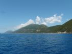
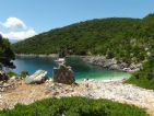
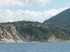
If we continue, we looked down the entire west coast of Ithaca between mountain Oxogy and the Aetos. In the middle you see the group Anogi. Immediately appears Polis Bay, where Loizos cave is. The bay has a beautiful beach, stones as usual, and on the left there is a small harbor with a few fishing boats.
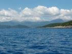
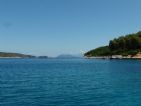
Near the Aetos we can see a great picture to the south of the island where, on the left, we see the south of Kefallonia, and if we turn we see the group of Anogi and Oxogy mountain -seen this time from the south-.
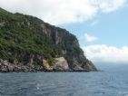
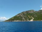
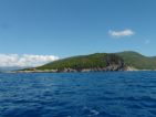
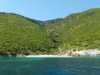
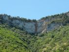
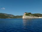
Further south we approach the southern tip, the Cape Ayos Andreas. Just before we take a picture to Kefallonia mountains that lie just ahead, and soon we can see one of the small ends with a landslide.
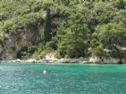
Walked in Agios Andreas, where the water is crystal clear, and landed on the beach in which lie some ruined buildings. One behind us seems a little defense tower.
The south of the island can be explored quickly, firstly because it is very small, and secondly because it has few points of interest. On the southwest side, Ayos Andreas Cape and on the southeast side, Ayos Yioannis Cape.
After Ayos Yioannis Cape, we begin to trace the southeastern coast of the island (which we could not finish the last few days due to the south wind). We arrive immediately to the Arethussa sources area and we can see the Petra Korax looking up in the gully.
Opposite is the Perapigadi islet. We can see the Atokos located between Perapigadi and Cape Skotariá, Sarakiniko. We passed near Perapigadi and see the small spring that lies to the west of the island.
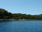
Then follows a couple of small coves where you can see a fish-farm and a small industrial plant.
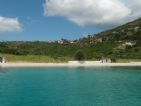
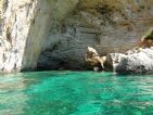
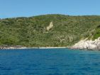 Finally we arrive to Sarakiniko beach. We can see the cave that drew the Archduke, and details of the rocks that can be seen from the area where the cave is located.
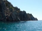
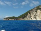
Finally we can see both: the Cape Skotariá, Sarakiniko, and the details of the rocks forming the cliffs.
We're finishing the Ithaca destination.
Soon we will go to Zakhyntos, last destination for the campaign of this fourth year following the steps of the Archduke Luis Salvador ...


